
Dove Dale - Peak District Walk
Monday 15th July 2024
With the Nine Edges Challenge firmly influencing what walks I do today's walk was planned as a means of starting to build up the distance I cover, only this time without too much ascent. The weather forecast for the week wasn't brilliant and there was a yellow weather warning for later today, but if I set off early I could enjoy some good weather before the expected heavy rain arrived.
Start: Alsop Station car park (SK 1559 5492)
Route: Alsop Station car park - Milldale - Dove Dale - Lin Dale - Thorpe - Thorpe Station car park - Tissington Trail - Alsop Station car park
Distance: 9.5 miles Ascent: 354 metres Time Taken: 4 hrs
Terrain: Clear paths
Weather: Warm and bright
Pub Visited: None Ale Drunk: None
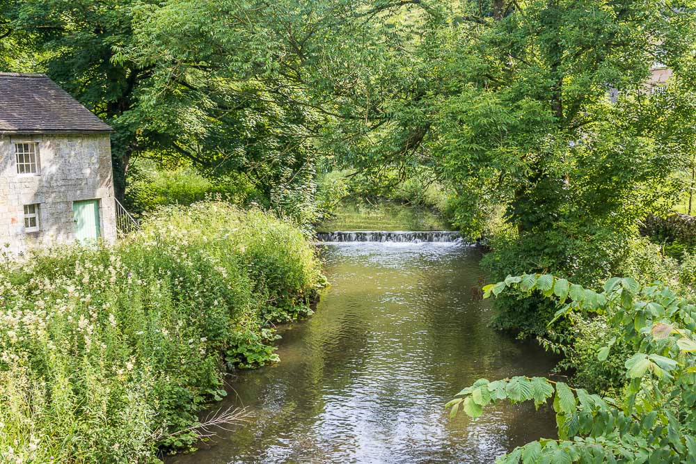
Heading down the road from where I'd parked my car it is always nice to reach the River Dove as it means there will soon be some pavement to walk along, making things a bit safer.
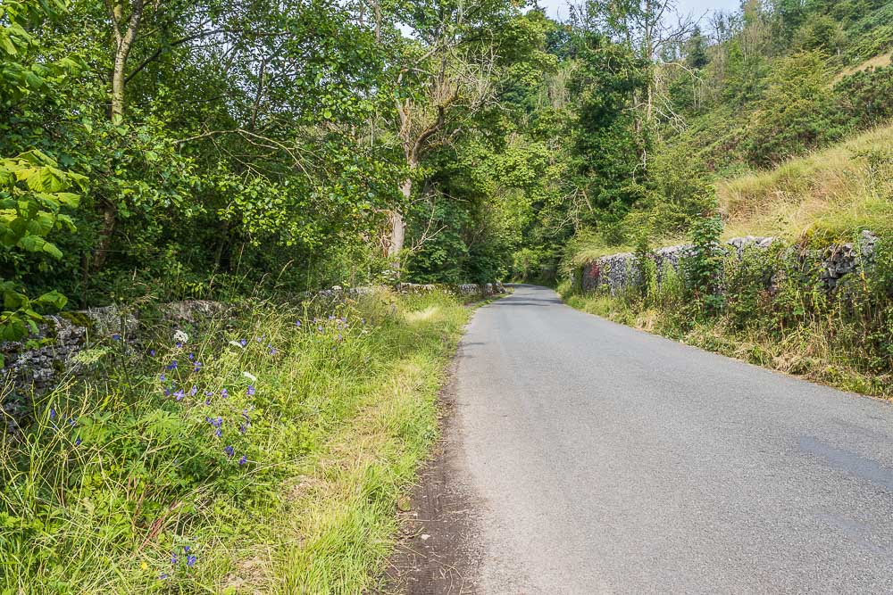
Walking along Mill Dale and the pavement, which means I no longer have to walk in the road, is just ahead.
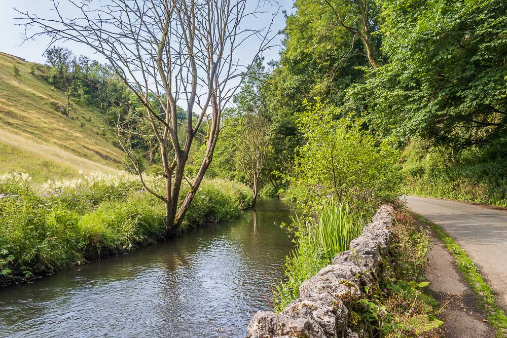
Walking through Mill Dale means you are also walking close to the River Dove.
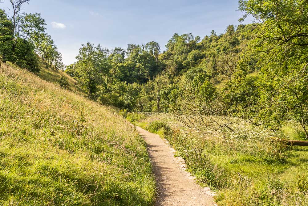
I soon find myself crossing Viator's Bridge and entering Dove Dale, where I meet the only people I will see until I get close to Lover's Leap.
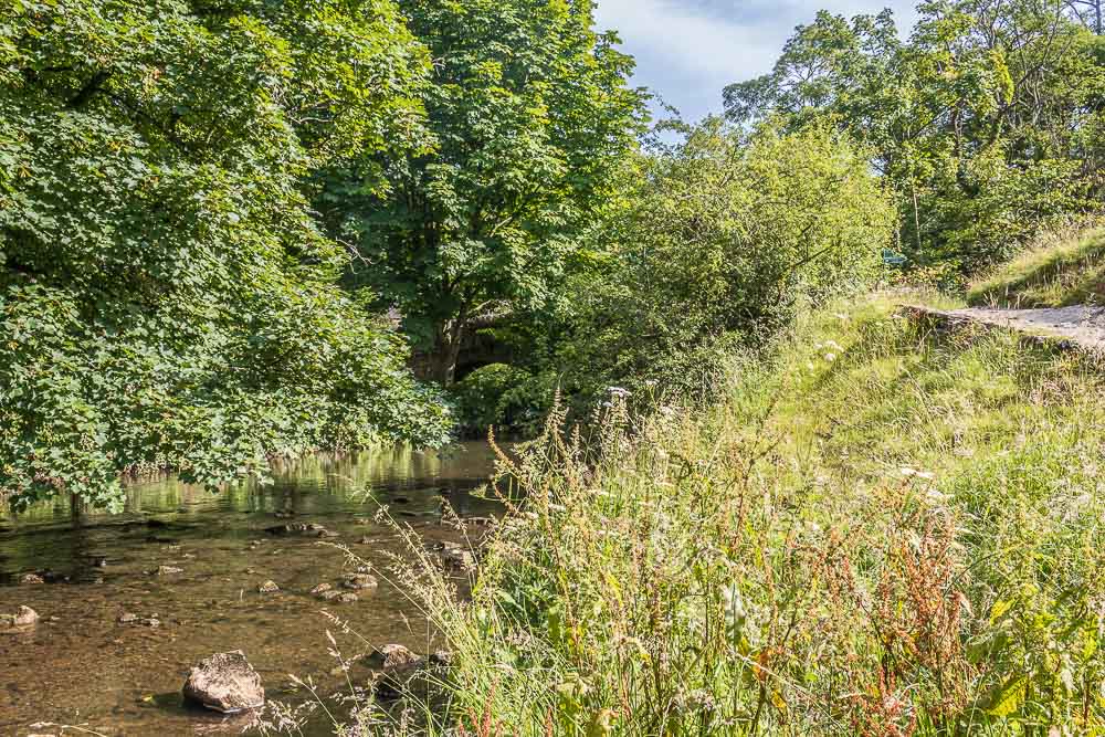
With everything in leaf it is almost impossible to spot Viator's Bridge beneath all the trees, but it is there.
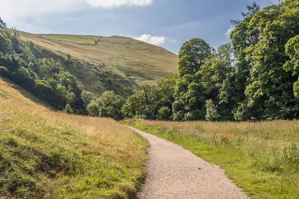
Ahead of me is Baley Hill and a very quiet and peaceful dale.
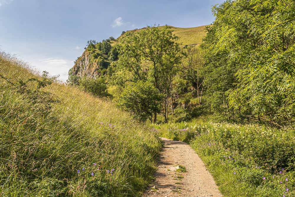
I'm soon looking at Ravens Tor. It is over seven years since I have walked in Dove Dale and it feels a bit like meeting old friends you haven't seen in years.
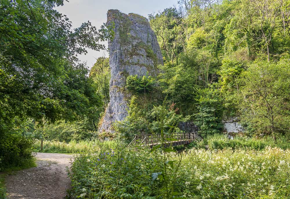
Most of the time when I walk in Dove Dale it is winter or early spring so I'm caught out by how green everywhere is and how little of some of the rock features, like the caves, you can see. No such issues with Ilam Rock.
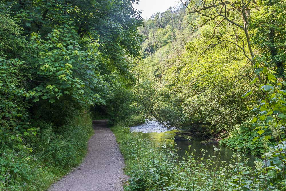
I'm now in a section of the dale I rarely visit, although I also said that last time I was here, in 2017.
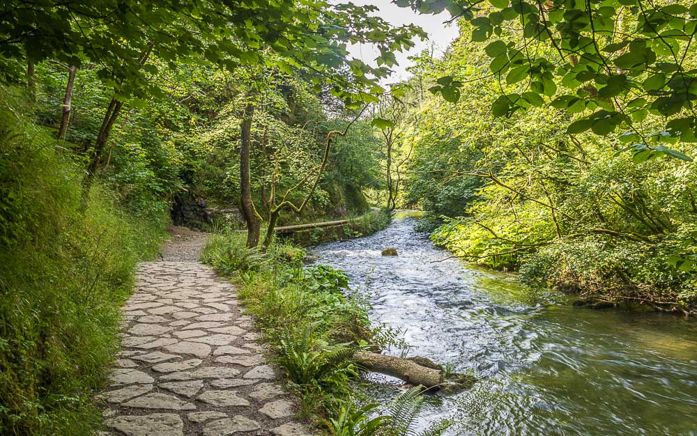
The main reason I avoid this section of the dale, especially in winter is the wooden walkway over the water, it's fine when it's dry, I'm not so keen when it's wet or icy.
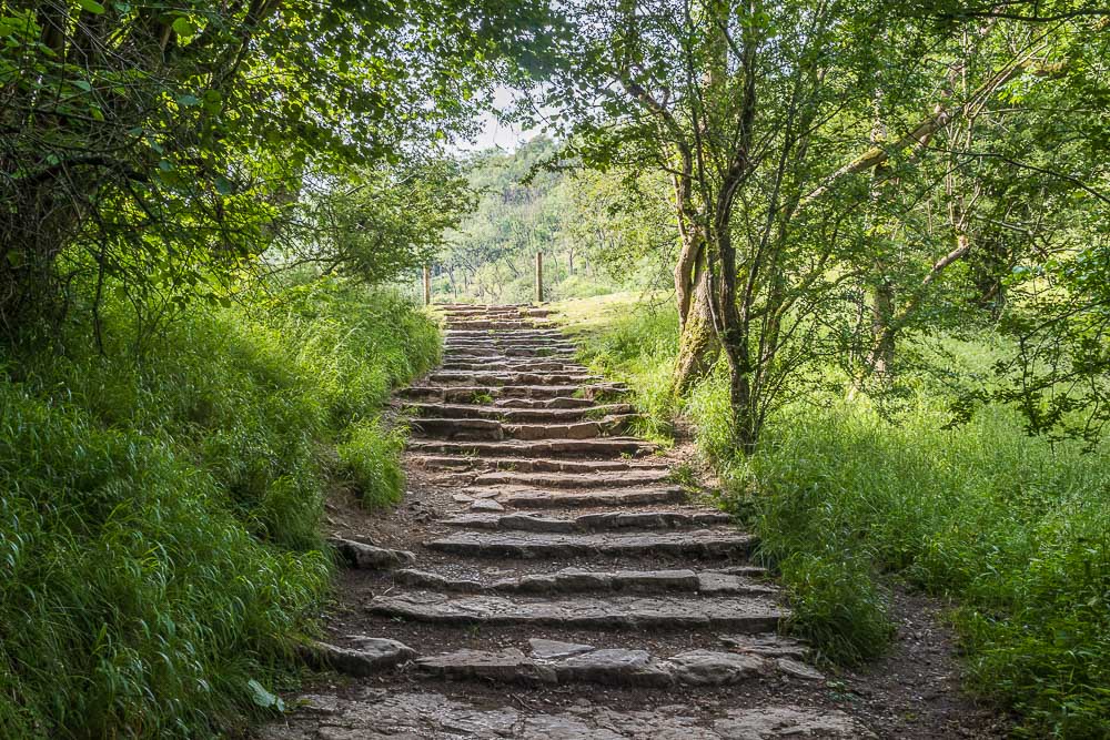
It is only when I approach Lover's Leap that I start to meet people. It looks like the combination of an early start and my favourite trick of starting at the Milldale end had worked again.
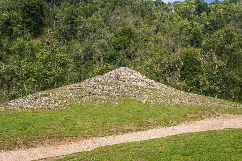
For once Lover's Leap has no one in sight.
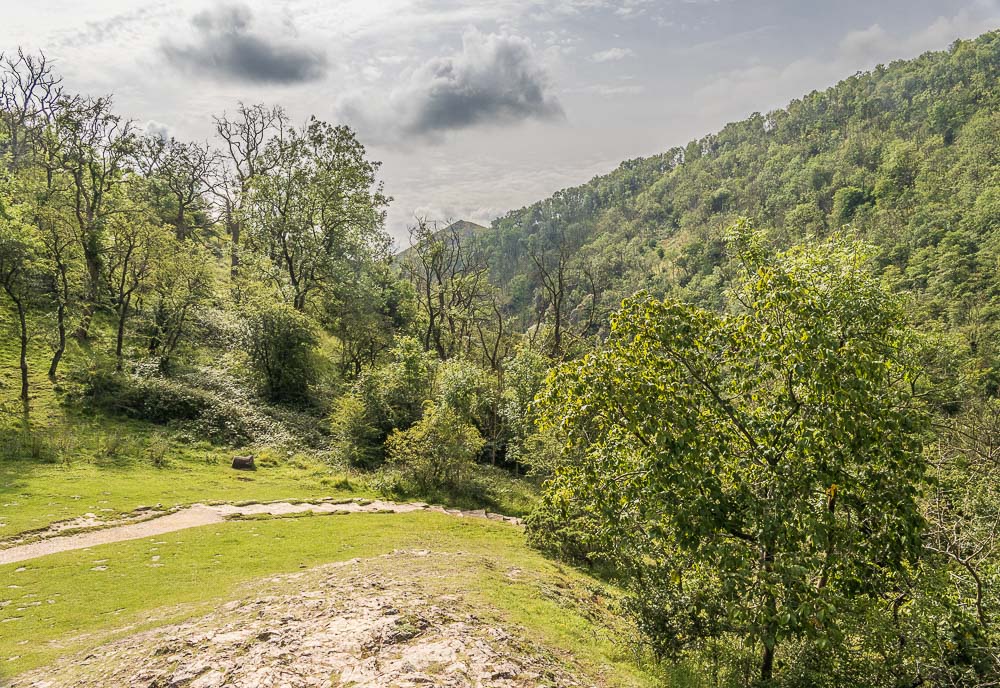
As there is no-one around and the limestone is dry I head to the top of the rock and take some shots along Dove Dale from there. Here looking south to Thorpe Cloud, where it is also noticeable that the earlier blue sky is, as the weathermen promised, being replaced with cloud.
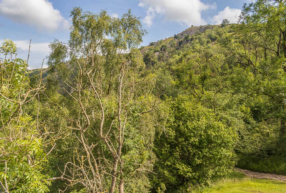
Looking north the blue sky is still visible along with the tops of the rocks known as Tissington Spires.
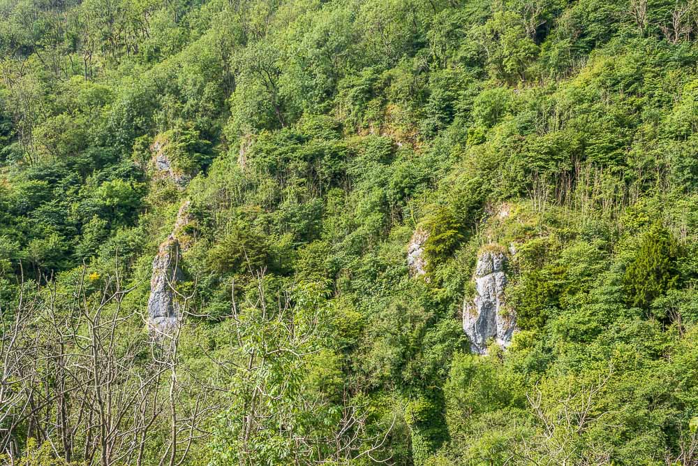
Looking across the dale from Lover's Leap only some of the Twelve Apostles are visible.
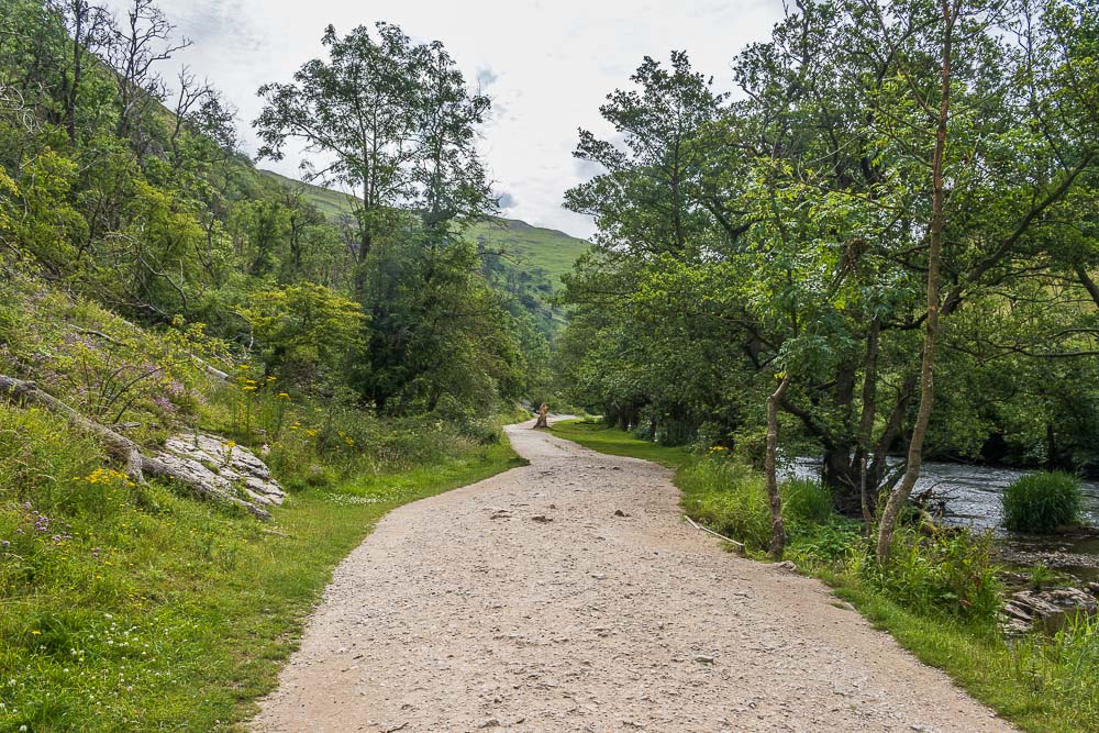
Leaving Lover's Leap I follow the path towards the stepping stones and start to meet more people.
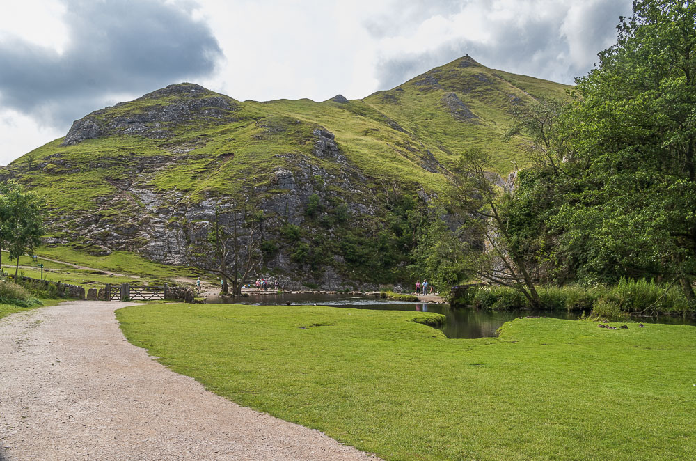
As I approach the stepping stones and Thorpe Cloud I have to smile to myself. When I entered the dale there was a big sign saying the stepping stones were closed, but how do you close a natural feature? Naturally people were just ignoring the signs and making decisions for themselves, so of course there were people crossing the stones.
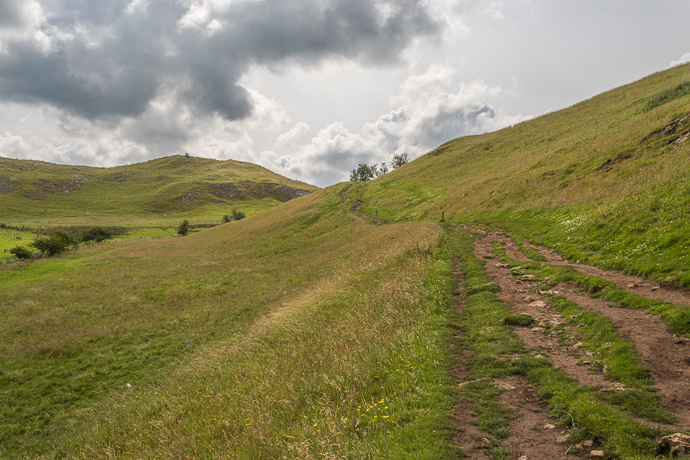
Ever since planning the walk I have debated if I was going to do Thorpe Cloud and even as I turned up Lin Dale, rather than start the ascent up Thorpe Cloud, I still hadn't decided as I knew it was easier to access from the back.
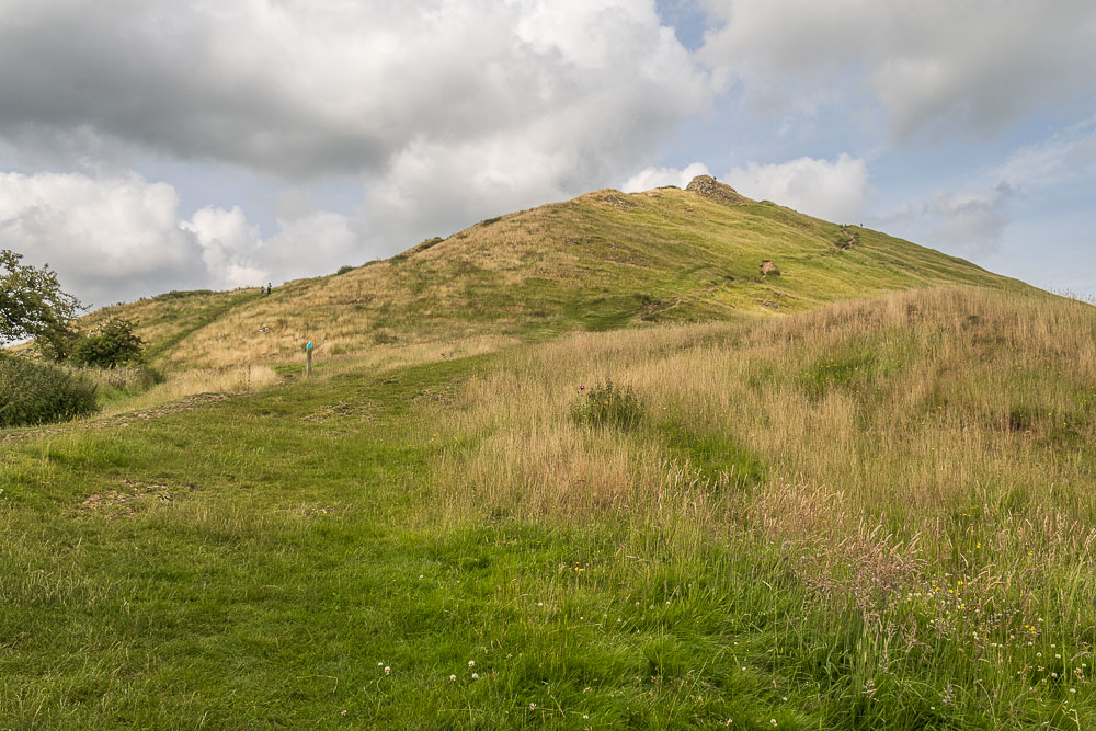
I stood for a few moments deciding if I was or wasn't going to go up to the summit, but looking at the number of people already up there or heading up there I decided against it, especially given I've done it several times already and usually when there was no one else in sight.
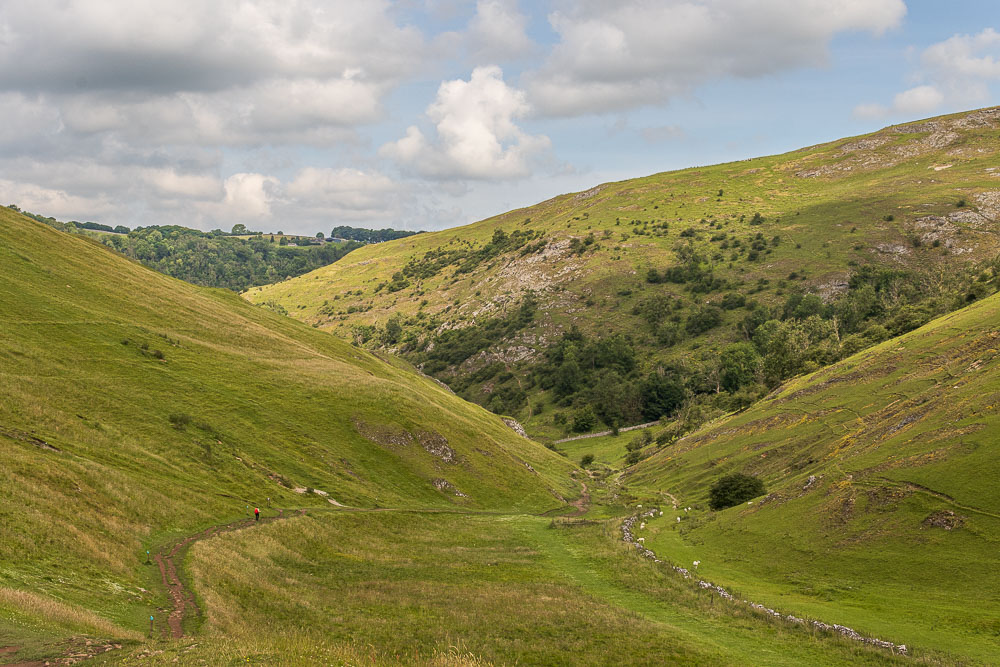
Looking back down Lin Dale. The blue topped posts are another sign of health and safety gone mad. Just beyond the lady below is a sign telling you not to go up the grass path, as it isn't safe, but to follow the posts to where I'm currently stood. No matter how hard I looked as I walked up the dale I couldn't see any issues and neither could the people who appeared to quite easily walk down the very path they are warning people away from. The National Trust really need to get their act together, according to them Dove Dale must be the unsafest place on earth!!
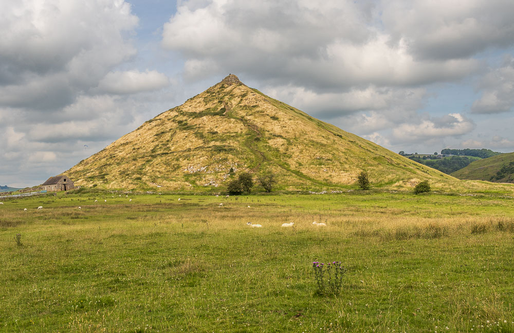
Leaving Lin Dale and heading across to the path to Thorpe I look back at Thorpe Cloud. Looking at it I suspected that there are now a lot more paths up it than when I first walked it after setting up the website in 2006, when I got home I checked and there weren't actually any paths to see on this side of the hill, I guess the Ethels and the madness after Covid has caused a lot of these to appear.
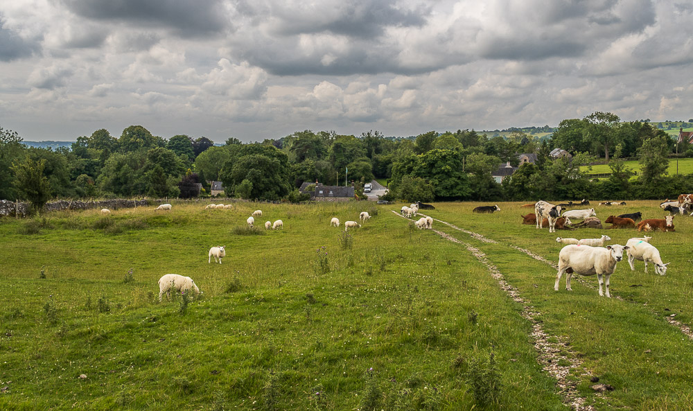
Heading for the path down to Thorpe I veer towards the wall and away from the cows, whom on the whole were docile, but one was watching me very carefully so I stayed away.
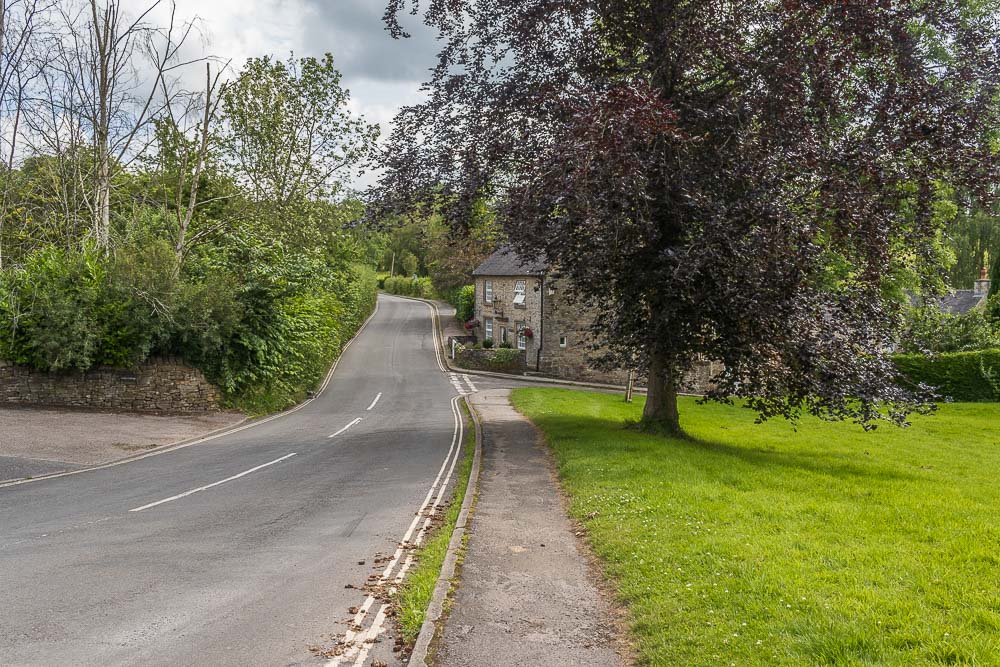
It is at this point that I needed to make a decision about how I was accessing the Tissington Trail. I could have gone right just ahead and accessed the trail slightly lower down, but knowing that route involves crossing two fields, one of which usually has cows in it I decide to stick to the main road and avoid any more potential cow issues.
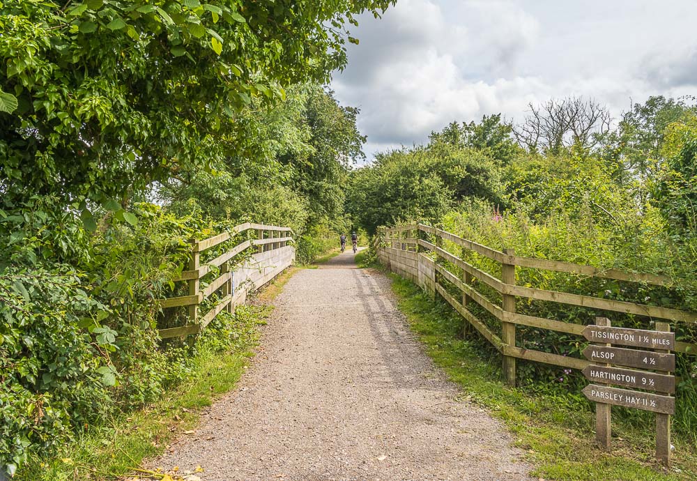
I join the Tissington Trail at Thorpe Station, where a sign informs me it is four and a half miles to my car.

It doesn't take me long to remember why I dislike the Tissington Trail so much. Unlike the High Peak Trail for much of the section I usually walk there are no views at all.
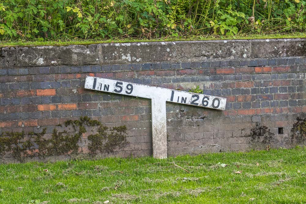
One of the signs at Tissington Station, which informs me that at least I'm going downhill now. There has been a lot of publicity recently about the signs being renovated and painted. I'm assuming they haven't got to this one yet.
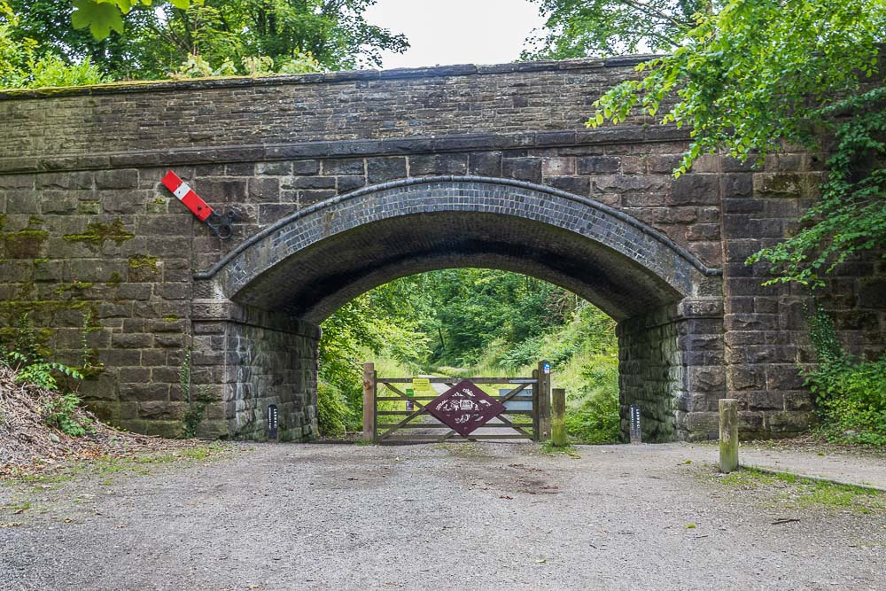
As I leave Tissington Station another sign lets me know I now have 3 miles left to do.
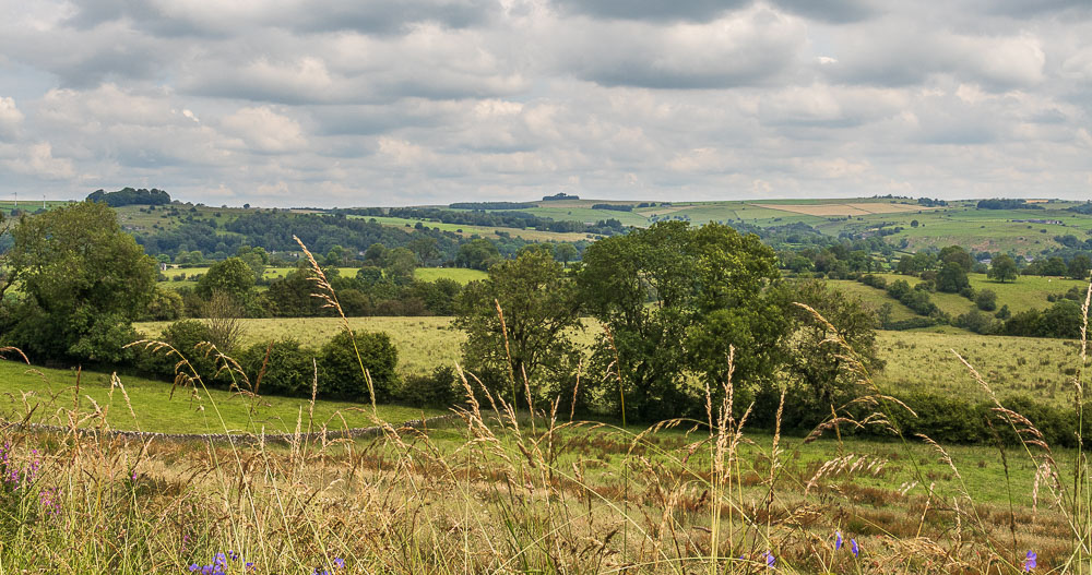
Not long after leaving Tissington Station the cuttings come to an end and when the trees aren't in the way I do actually have some views. Here looking across to Minninglow.
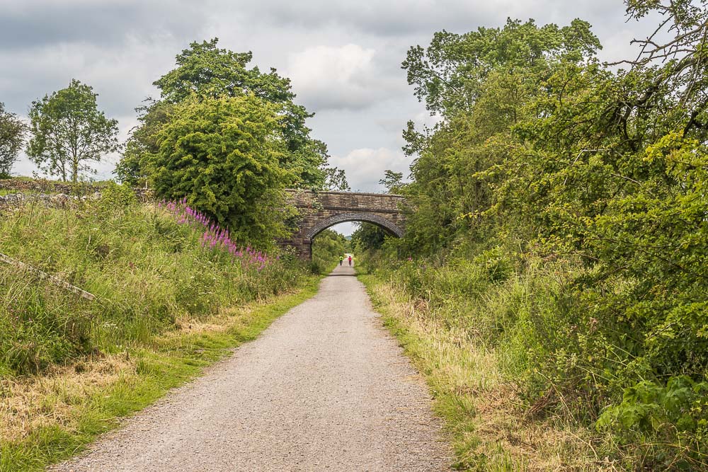
For much of my time on the trail I keep getting passed by the same cyclists. They passed me between Thorpe Station and Tissington Station, but stopped at Tissington for a break so I overtook them. With their breaks over they once again overtake me
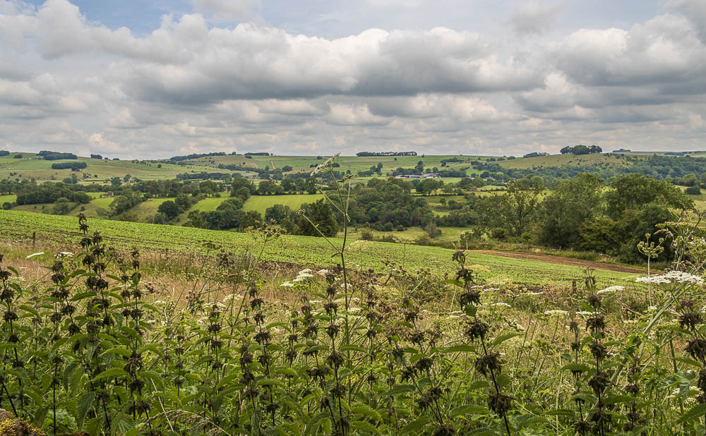
Looking across to Parwich Hill as I take advantage of a footpath allowing access to the trail to see what views I'm missing thanks to all the trees. On the horizon Aleck Low is also in view.
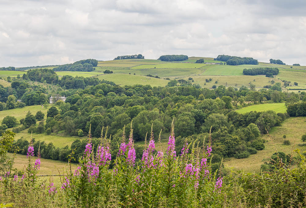
Looking towards Parwich Lees and Eaton Dale from the Tissington Trail.
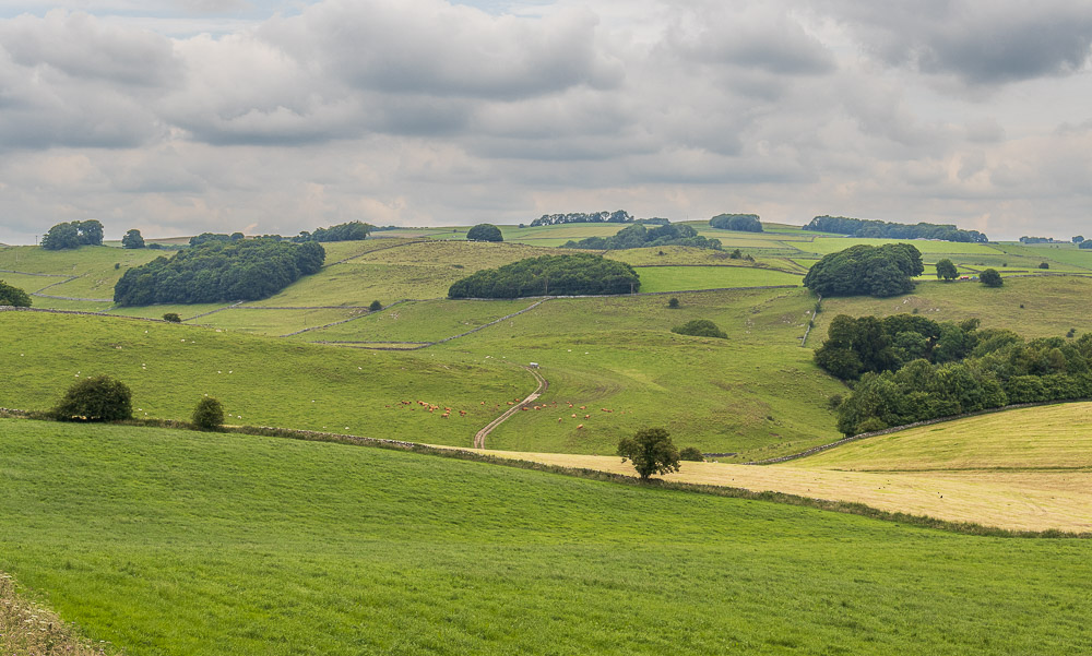
Looking in the direction of Alsop en le Dale as I get close to the car park.
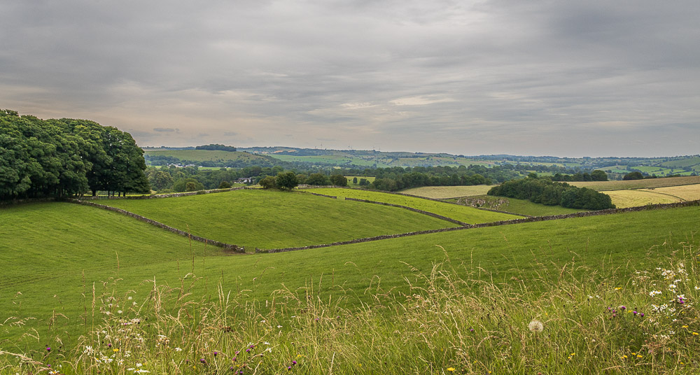
As I'm virtually at the car park I look back down the valley to the wind turbines close to Carsington Pastures and can't help but notice that the blue sky from the start of my walk has now disappeared. Just as I reached my car the first spots of rain fell, so I certainly timed this walk well.
All pictures copyright © Peak Walker 2006-2024